
SMA TERRITORIAL MAP™
First activation of the Territorial & Cultural Advisory
STARTING POINT
As the first step in the Territorial & Cultural Advisory™ process, the SMA Territorial Map is developed:
A strategic and editorial tool that organizes the territory not by political boundaries, but by purpose, flow, and actual potential.
WHAT IS THE MAP
A system that identifies and connects 4 hubs—regional corridors that extend San Miguel de Allende beyond its urban center.
Each corridor includes:
Real estate development
Hospitality
Agricultural production
Cultural experiences
Natural infrastructure
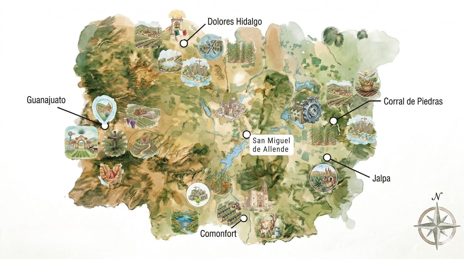
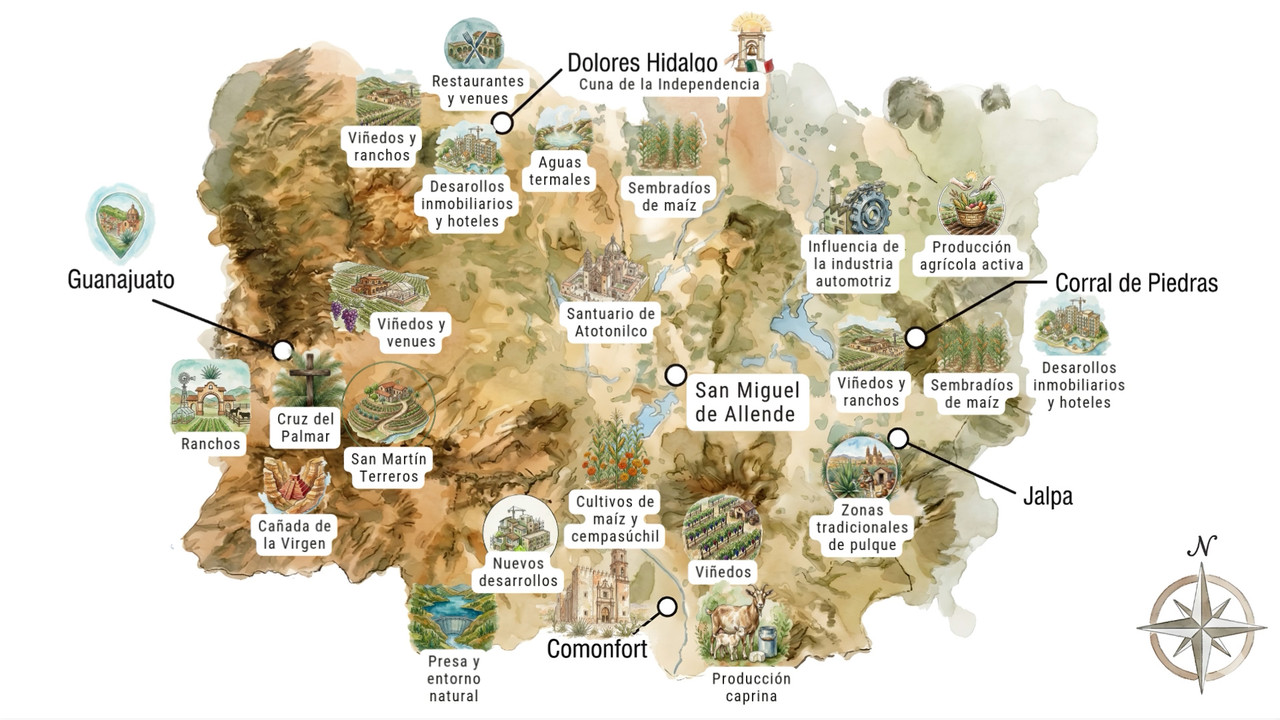
THE 4 CORRIDORS
1. SMA Corridor — Dolores Hidalgo
A historic and productive hub connecting:
Developments and hotels
Vineyards and ranches
Restaurants and venues
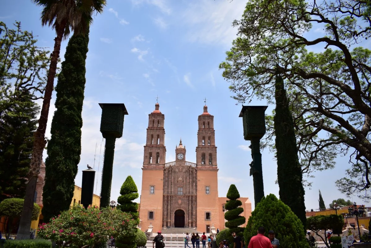
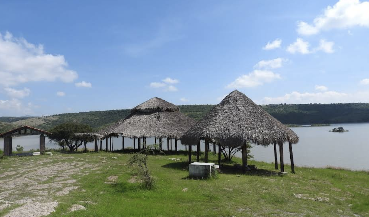
Atotonilco Sanctuary
Hot springs
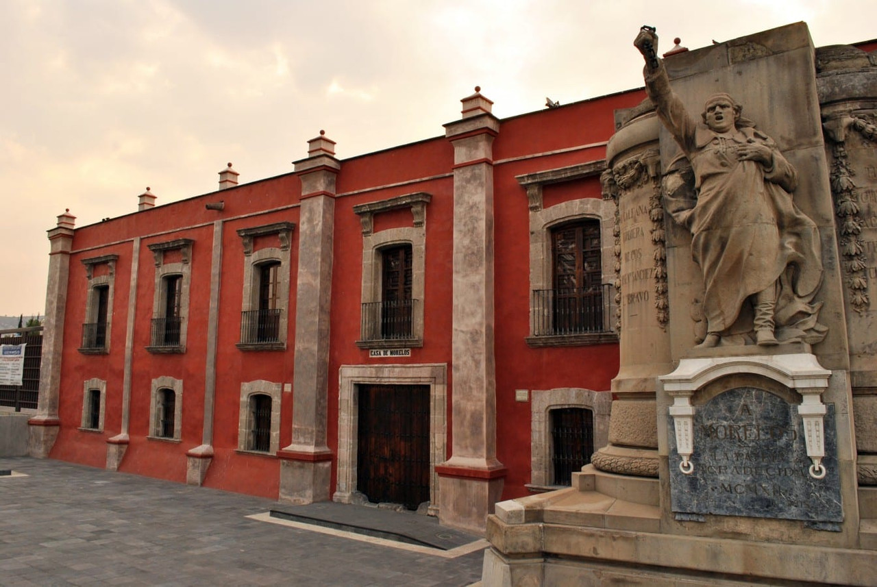
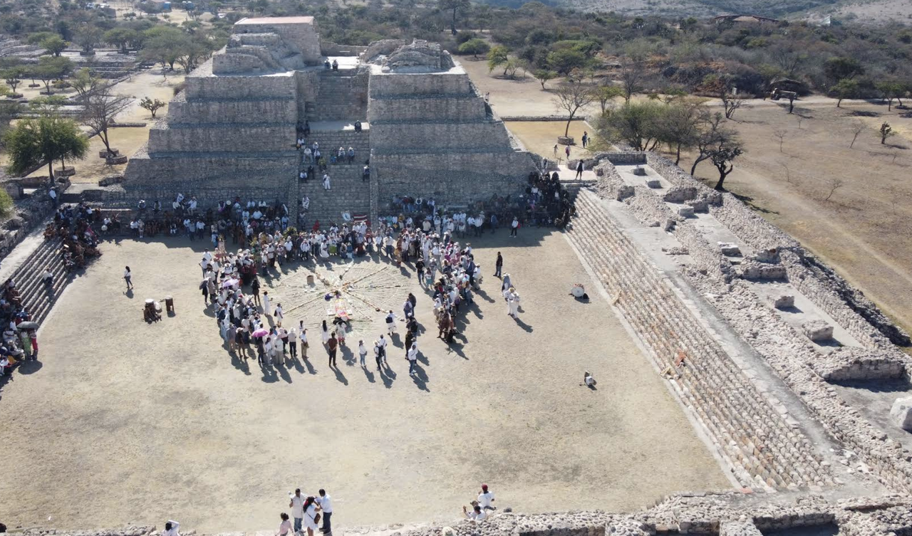
Dolores Hidalgo (Cradle of Independence)
Cornfields
2. SMA Corridor — Corral de Piedras / Jalpa
A region of production and expansion:
Developments and hotels
Vineyards and ranches
Active agricultural production
Traditional pulque-producing areas (Jalpa)
Cornfields
Influence of the automotive industry
3. SMA Corridor — Comonfort
An emerging agricultural and cultural hub:
Vineyards
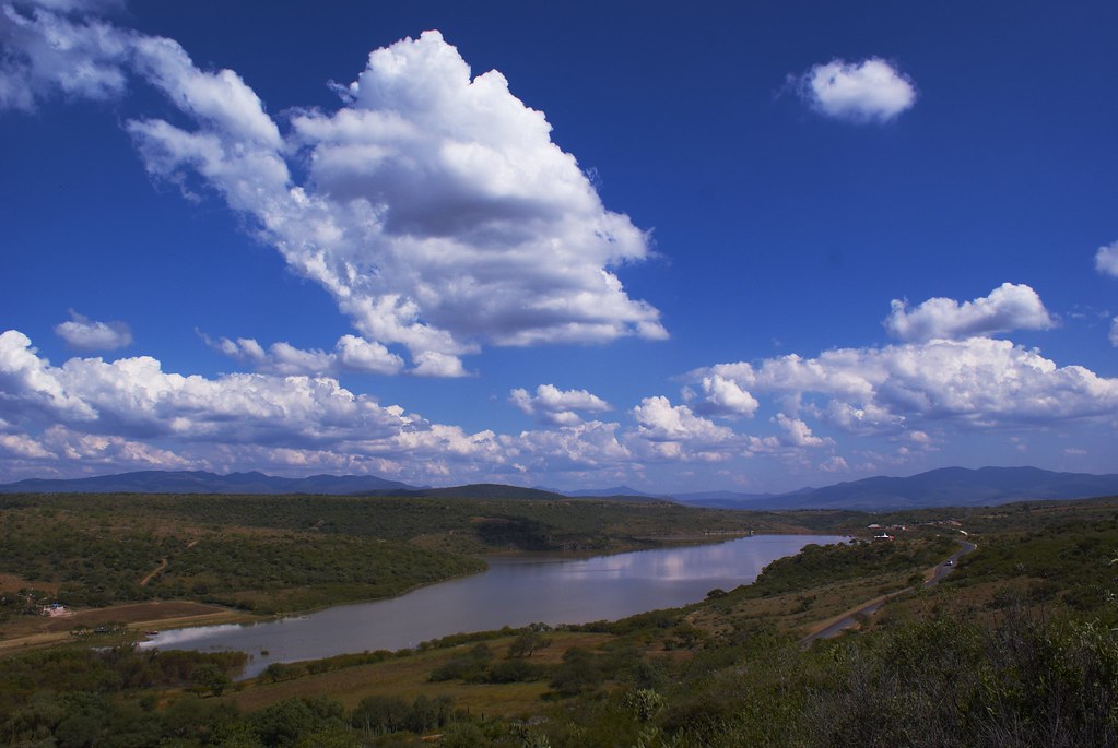
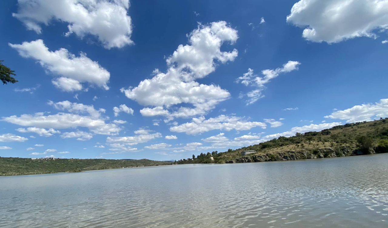
Dam and natural surroundings
Goat farming
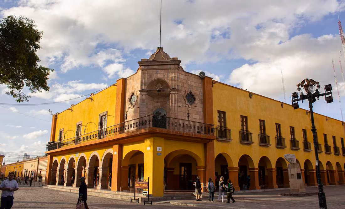
Comonfort
Corn and marigold fields
New developments
4. SMA Corridor — Guanajuato / Mineral
A corridor rich in history and scenic beauty:
Vineyards and venues
Ranches
Cruz del Palmar
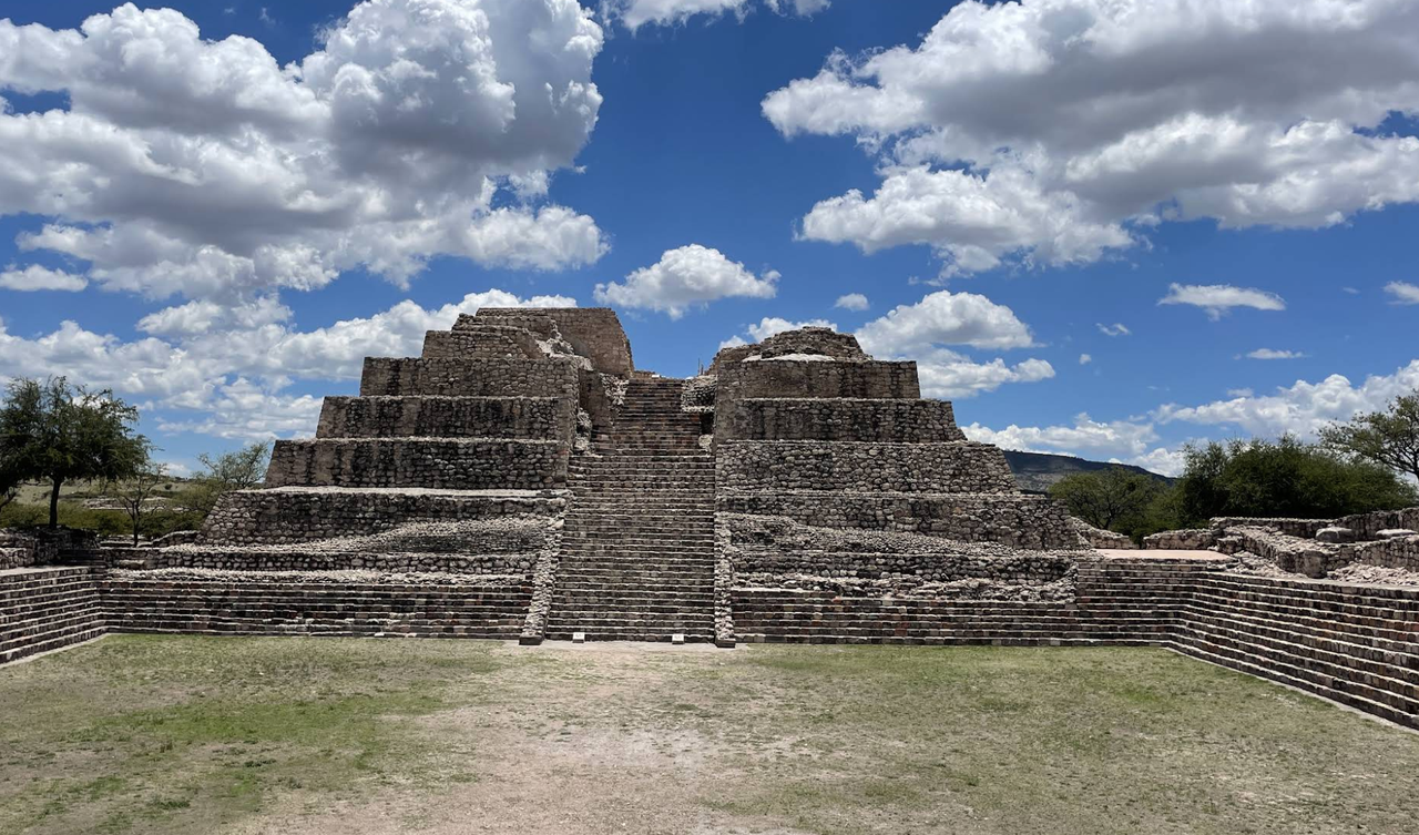
Cañada de la Virgen
San Martín Terreros
Guanajuato

STRATEGIC PLATFORM
The map does more than just organize geography.
It defines a territorial model based on:
Local food production
Clean energy
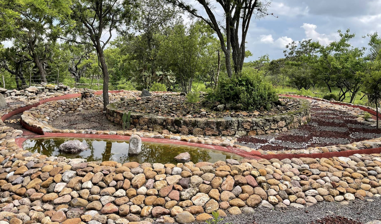
Rainwater harvesting
Reforestation
Soil regeneration
MAP OVERVIEW
These four corridors form:
👉 An active territorial belt
That positions San Miguel as:
An agrotourism destination
An agro-real estate ecosystem
A platform for agro-wellness and agro-health
👉 A system that promotes self-sufficiency + true sustainability
ROLE WITHIN THE ADVISORY
The SMA Territorial Map™ is:
The foundation of the narrative
The positioning tool
The integration framework for all participants
EDITORIAL ACTIVATION
Through AVENUE / MAIZAZUL:
Each corridor becomes a story
Every actor becomes a node within the system
Every project becomes part of a larger narrative
👉 The territory ceases to be fragmented
👉 and becomes legible, aspirational, and strategic
The San Miguel Territorial Map marks the beginning of a new era: A time when San Miguel de Allende stops growing by inertia and begins to evolve with purpose.